
A couple weeks ago, Evan mentioned that he caught wind of a new snowmobile route from Prince Gallitzin State Park to Black Moshannon State Park, traversing the Allegheny Front through mostly Game Lands on a mix of dirt roads and doubletrack trails.
We did some research and found a GPX file. Time to go explore.

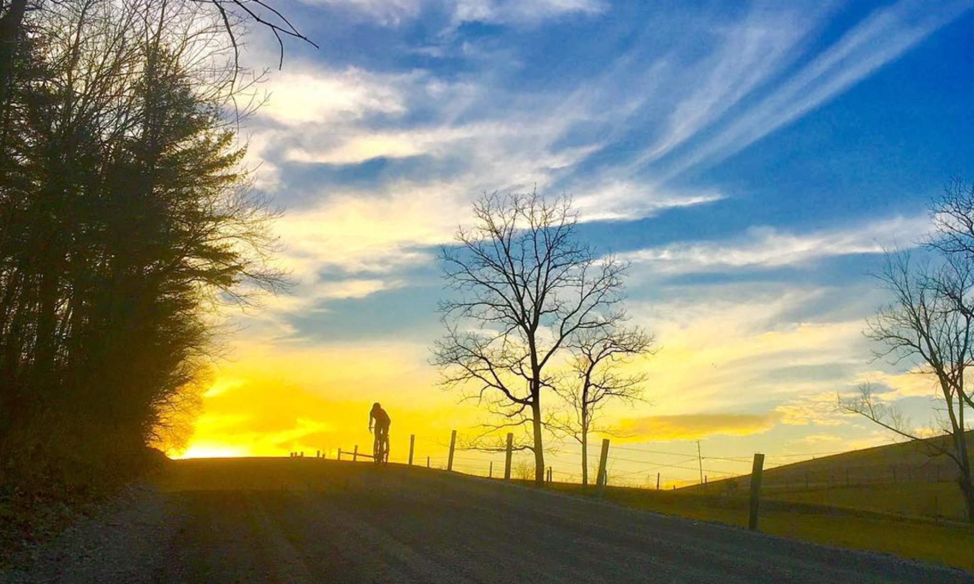
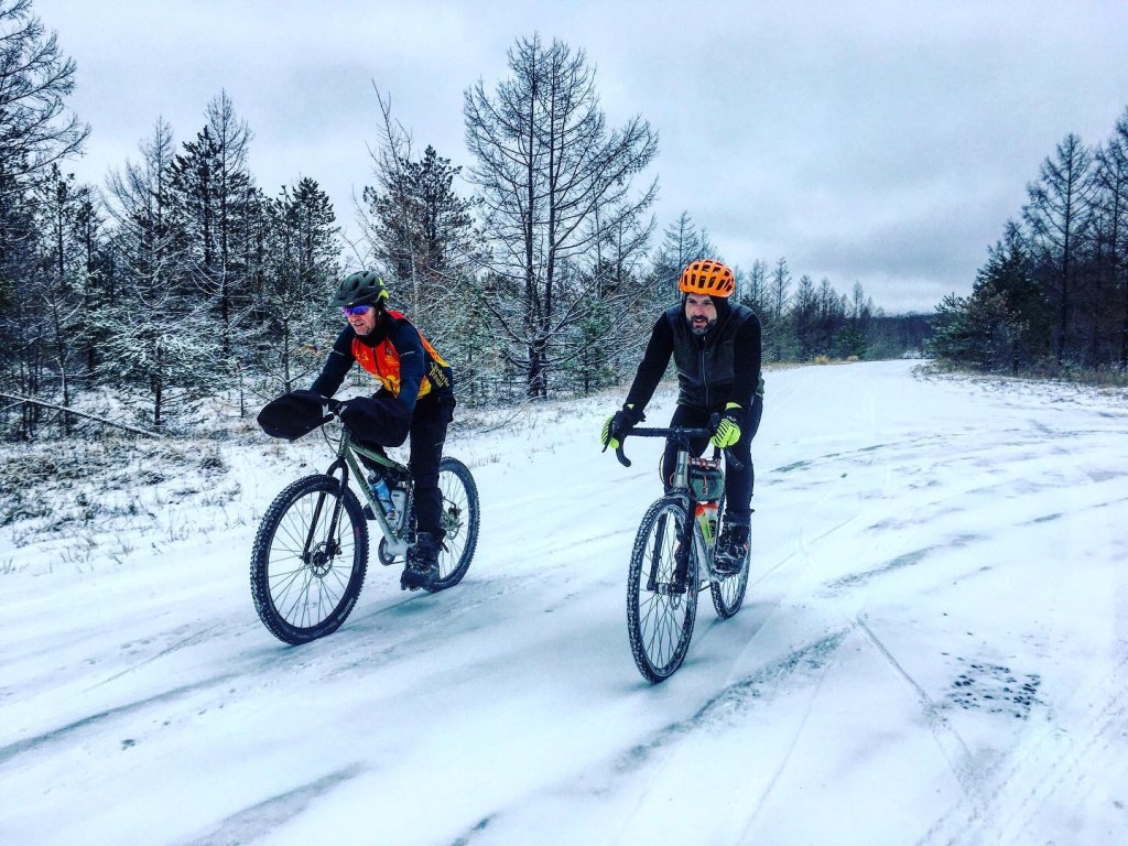
It seemed fairly warm (for the time of year and compared to earlier in the week) as we loaded the car with our bikes and gear in the morning, but I’d looked at the forecast for our destination and it promised to be in the low 30s with a “feels like” value in the mid 20s. So, after a quick second guess at my clothing choice, I stuck with what I’d originally donned with that weather forecast in mind. And a good thing, because when we arrived at our meeting spot near Sandy Ridge, there was a couple inches of snow on the ground (there was none left at home), the temperature was definitely colder and there was a brisk wind blowing.
I’d downloaded the GPX track and the route that I’d created to my phone, but forgot my external battery to charge the phone during the ride if necessary. I was a little concerned because of how quickly phones die in the cold — what if we lost our means to navigate? I decided that as long as I kept my phone in my jacket where it was warm, it would be fine (it was). It also turned out that for the most part, the route was pretty obvious. It followed a dirt (now ice and snow covered) road for several miles before there were any intersections or potential turns.
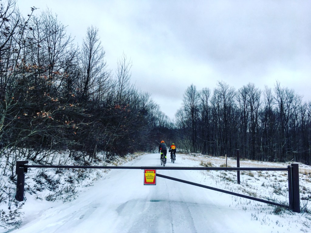
There was more snow than expected up on the plateau, and the dirt road was covered with a crust that made going a bit tough with skinny tires (38c studded 45NRTH Gravdals). Evan and Shannon were faring a bit better on 29 x 2.5 studded 45NRTH Nicotines, but still claimed that it was hard for them too.

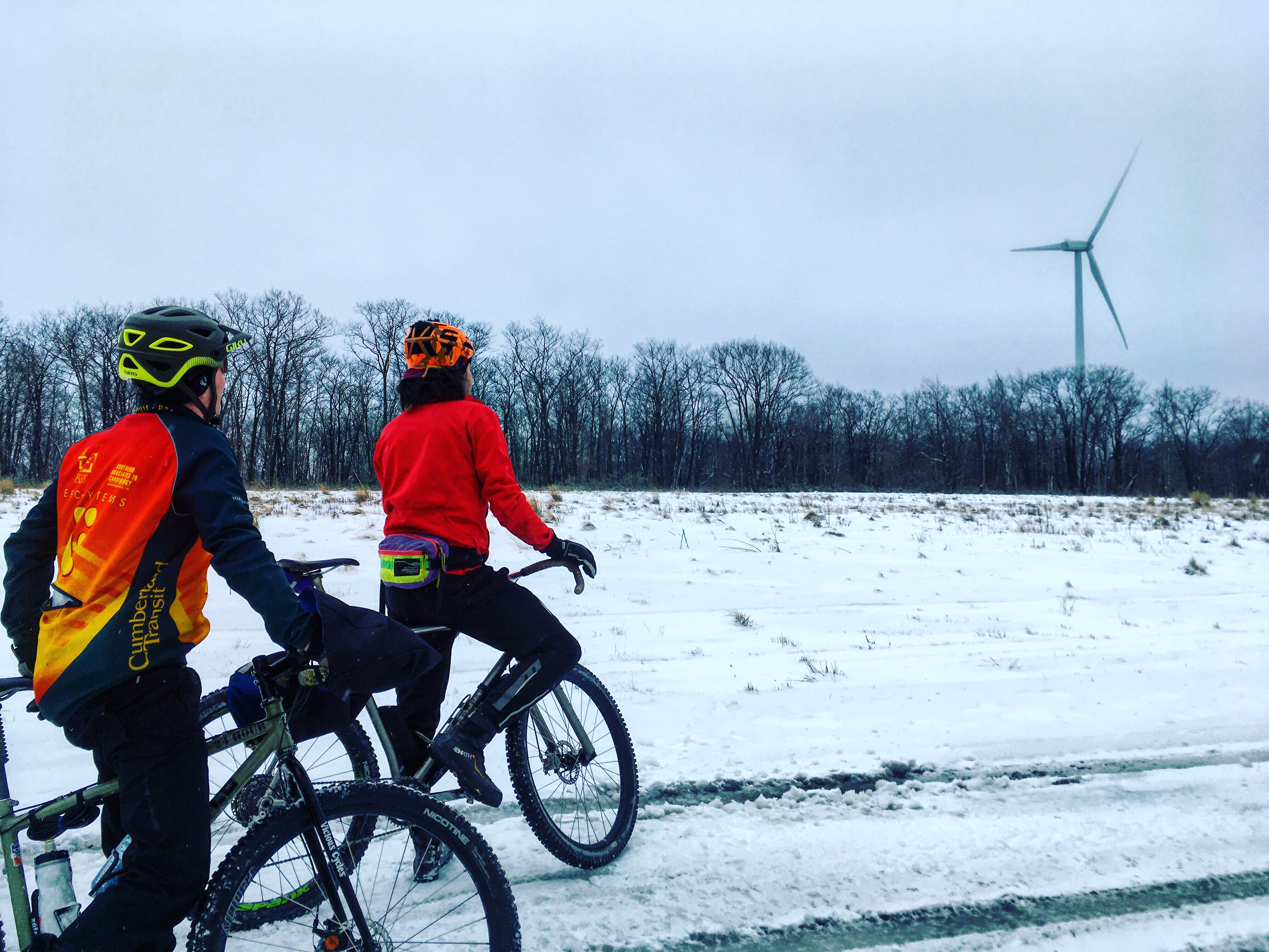
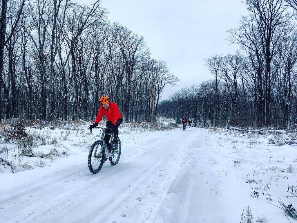
We passed through an area that was nearly devoid of trees and appeared that it was recently logged or burned or both. Some of the stumps were charred, but there were also piles of brush everywhere that were almost certainly human-created. With nothing to break it, the wind whipped our faces. I zipped my vest back up against the cold.
Windmills dotted the landscape, one of them appearing up close just ahead of us. A short detour led us to its base, where we stared up, mesmerized by the “whooshing” noise and spinning blades that disappeared into the fog at the top of every rotation.

I wonder how fast the tips of the blades are going, I mused. From afar, they don’t appear to be moving so fast because they are so long, but we know they must be (I looked it up and with average 13-15 mph wind speeds, the tips of the blades are generally moving at about 120 mph).
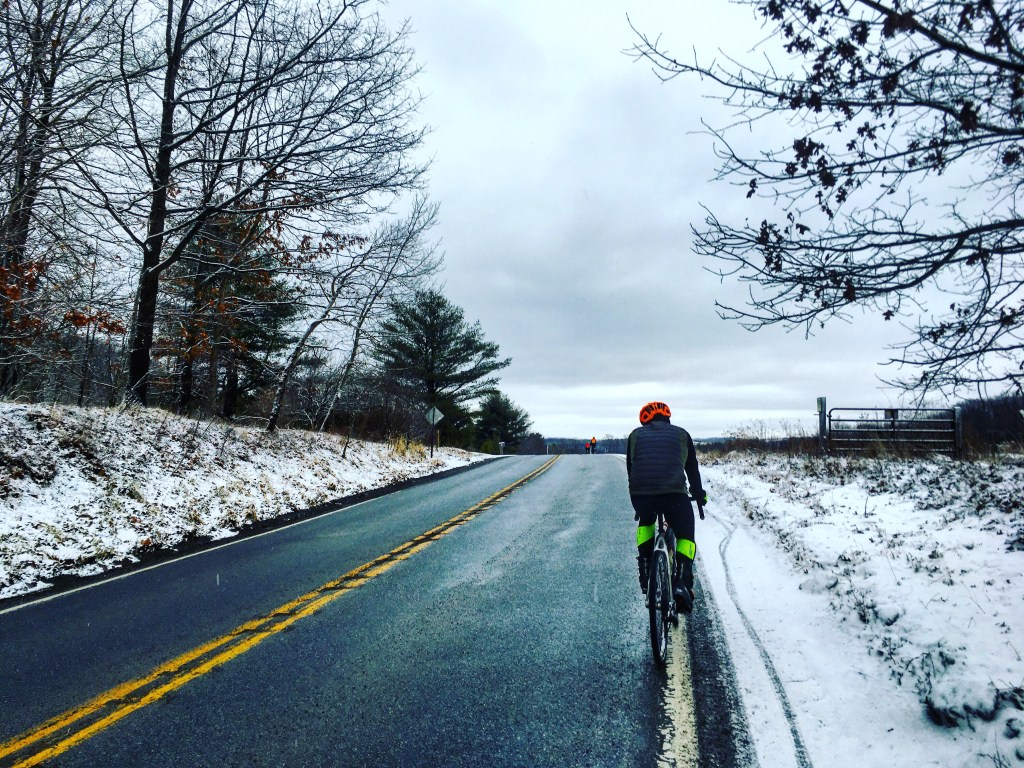
Continuing on, we encountered a section of road that was nothing but ice. Presumably, the wind had swept the snow away and left only icy ruts where trucks had driven during warmer temps. Even with studs, we slid around on the uneven terrain. Without studs, riding would have been nearly impossible. The road began to descend off the highest part of the plateau, ending at Rt. 453 above Tyrone.
We had a brief respite on pavement and then we followed the route onto doubletrack snowmobile trail. This section was even tougher going. As the trail began to climb, I struggled to get traction in the snow that was a mixture of slush and icy crust. I was also getting very hungry. I hadn’t fueled myself enough pre-ride or early in the ride, and it was catching up with me, making me “hangry” and exacerbating my frustration with not being able to easily pedal. The next time I was stopped by the snow, I pulled out a snack. Behind me, Josh did the same. We exchanged a few words about the conditions and I assured him that it wasn’t just him doing something wrong. But food in my belly, I was feeling much better about the situation and forged ahead with a new spunk and better attitude.
At the next opportunity, we decided to cut a few miles off the snowmobile trail because it was so tough going and bail out on a dirt road through abandoned mine lands. The road spat us out in Blandburg, where back roads would take us northward again.
Navigating via a combination of looking at my phone every now and then, general knowledge of which direction we needed to go and which roads looked inviting, we zig-zagged our way through small, desolate-feeling towns, the mood heightened by the gray that permeated everything. I enjoy sunshine, of course, but I have also come to appreciate and love the gray too. It somehow amplifies color in ways that the sun just washes out. It is oddly comforting, perhaps because it is the norm in Pennsylvania in winter, or perhaps because to be making the most of the day, even when it’s gray, is to live fully despite conditions not being perfect.

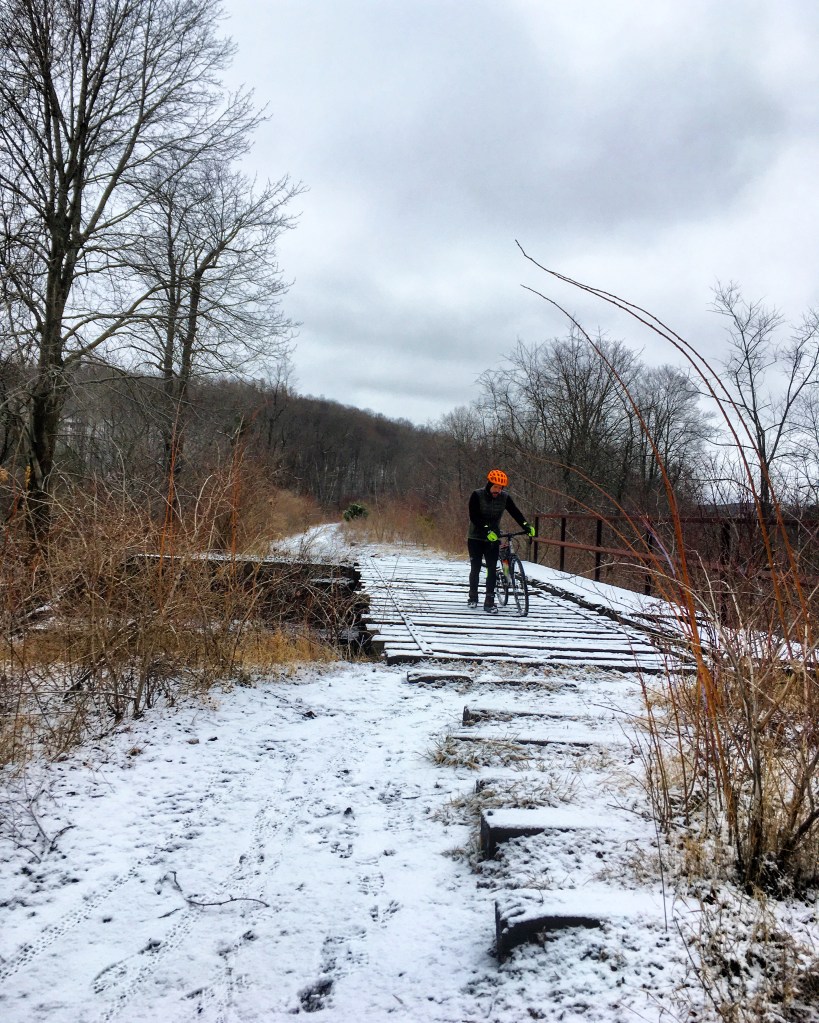
The town of Ramey brought us to the Houtzdale Line Trail, a rail-trail which we followed northward to the outskirts of Osceola Mills. On the southern end, the trail looked like it had seen plenty of use, including by a fatbike as evidenced from the tracks. It was fairly easy going despite being snow-covered. North of Houtzdale however, the trail deteriorated and became more rutted. It was wet, tiny rivers running on the trail itself, cutting through the coal dirt. I’d explored this trail back in the spring and experienced similar conditions, giant puddled stretching the width of the old rail bed. At the end, Josh remarked, that’s the most technical rail-trail I’ve ever been on.

Past Osceola Mills, we began climbing back to the top of the plateau via a nice, mellow grade. I found my groove and pushed my pace, knowing we were almost done with the ride. I set my eyes on Evan and tried to narrow the gap between us. Seeing the sign for the junction with Rt. 350, I sprinted even harder. It shouldn’t be more than a mile or so to the cars now.
A glance at the road sign at the intersection alerted me to the fact that something was off. We were supposed to be climbing on States Street, but the sign said Phoenix. I checked the map on my phone.
Oh geez.
We were considerably farther north on Rt. 350 than we intended to be, which was fine, but it meant 5 miles on the busy highway rather than a mile and a half. And it was still all uphill. We put our heads down and pedaled in the slushy shoulder as big trucks whizzed by. Those 5 miles seemed to take forever, but eventually we reached the top of the mountain and the parking area. We made it.

The route: https://ridewithgps.com/trips/44122095
