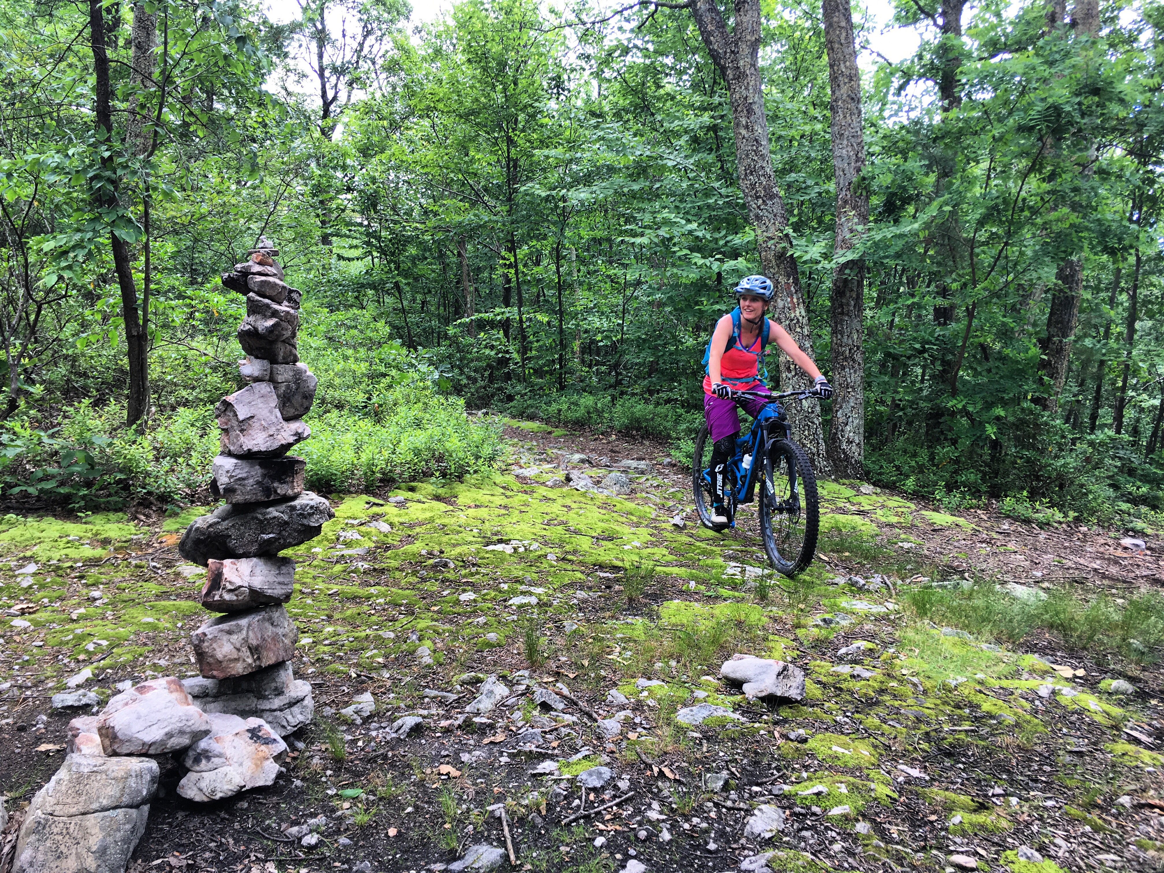

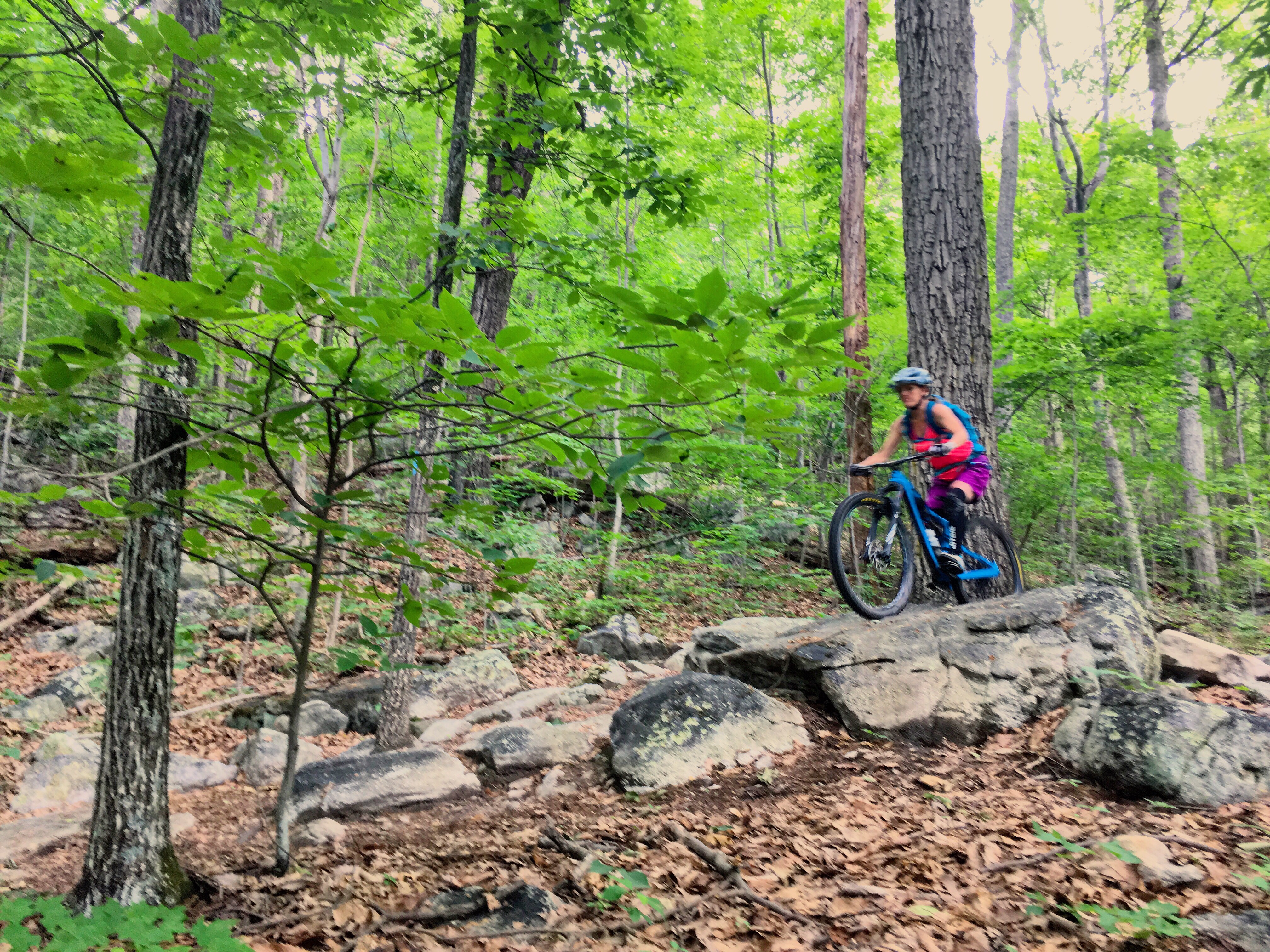
I looked up from pushing my bike to see the jumble of rocks continuing as far as I could see. I’d try to ride for a bit, challenging myself to see how far I could make it before needing to dab, but the rocks would often win. Sometimes though, I’d have a good run, cleaning long stretches of trail before giving in to mental or physical fatigue. I’d start pushing again, stopping every now and then to wait for my riding buddies and let my shoulders rest. In terrain this technical, my upper body often tires before my legs do.
We were climbing Signal Knob Trail in the northern Massanutten region of Virginia. This section of trail is part of the 70-mile long Massanutten Trail, which creates a “Ring” following two ridges. The riding here is known to be highly technical. Doing a “Full Pull” of the Ring (the entire 70 miles in less than 24 hours) is something that rock-loving riders aspire to — and it’s not so easily done.
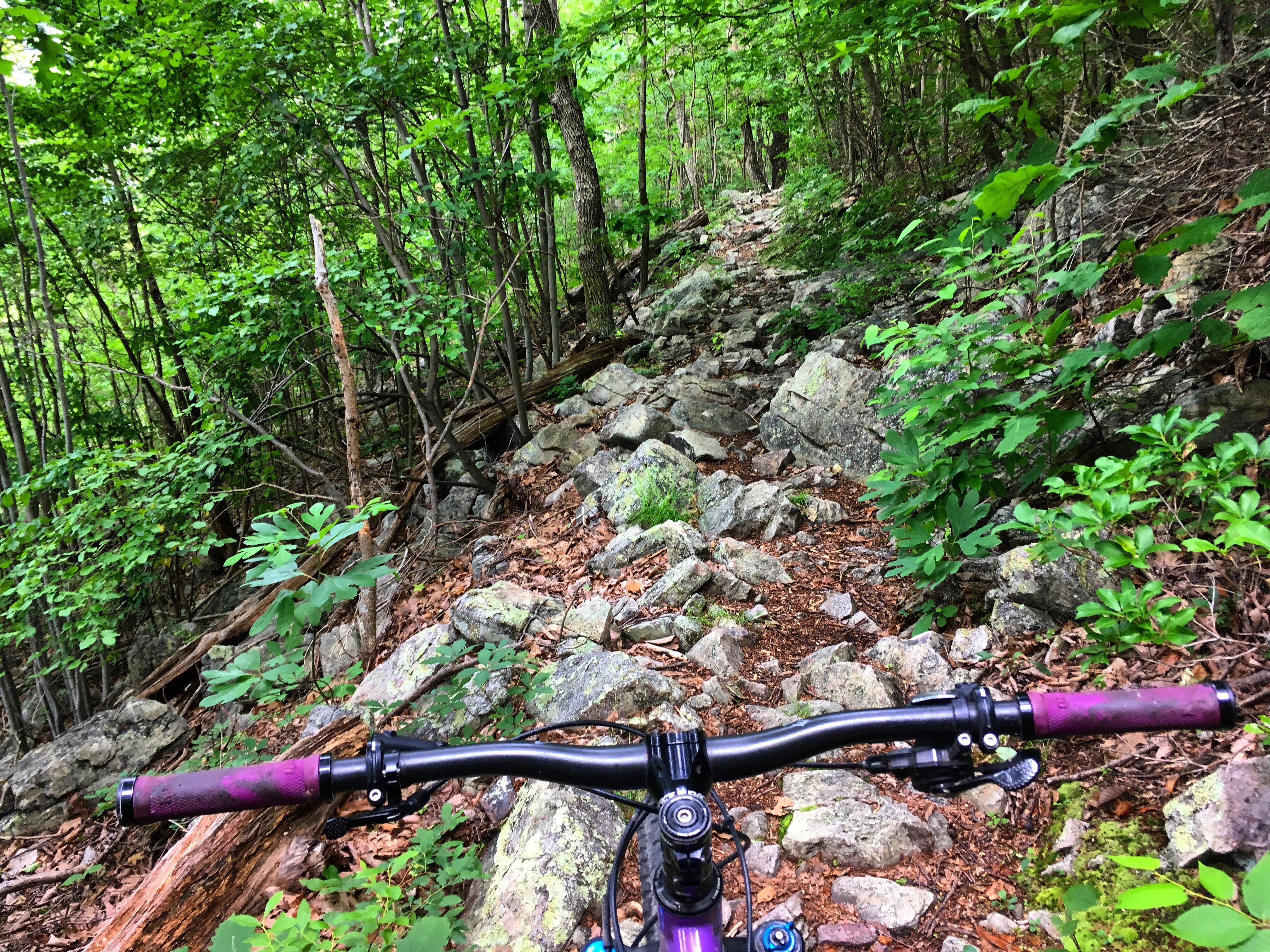
As I alternated between walking and riding my bike up the 4-mile long/1,500 foot climb, I couldn’t imagine riding this terrain for 70 miles. I absolutely love rocks and consider myself a pretty decent rider of them, but I was only a few miles into this ride and my body was already feeling it (in all fairness, I hadn’t been mountain biking as much as usual this past spring due to a combination of wet trails and injury recovery).
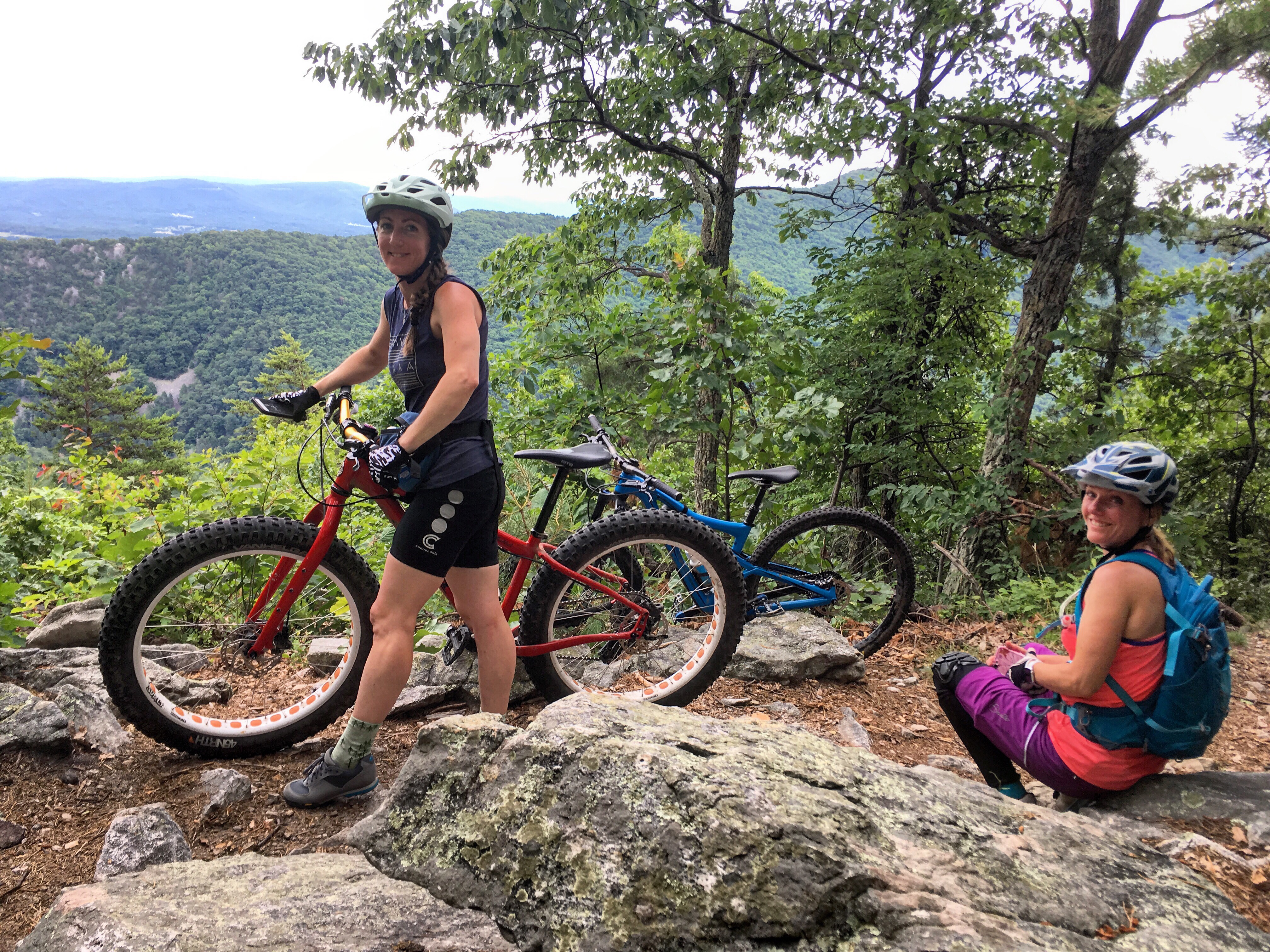


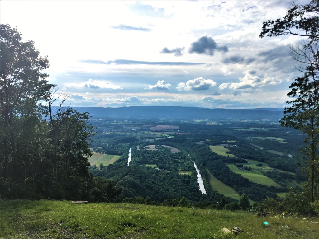
Though brutal, I was thoroughly enjoy the ride (and walk). Our efforts were rewarded with plenty of vistas, and well, I mentioned that I love rocks. We passed several large groups of hikers, all of whom marveled at the fact that we were riding bikes up this trail.
The descent down Bear Wallow goes on the list of one of my favorites ever. It starts out pretty chunky with a few sketchy drops, then slowly mellows out into minor rock gardens and then smooth, flowy trail towards the bottom.


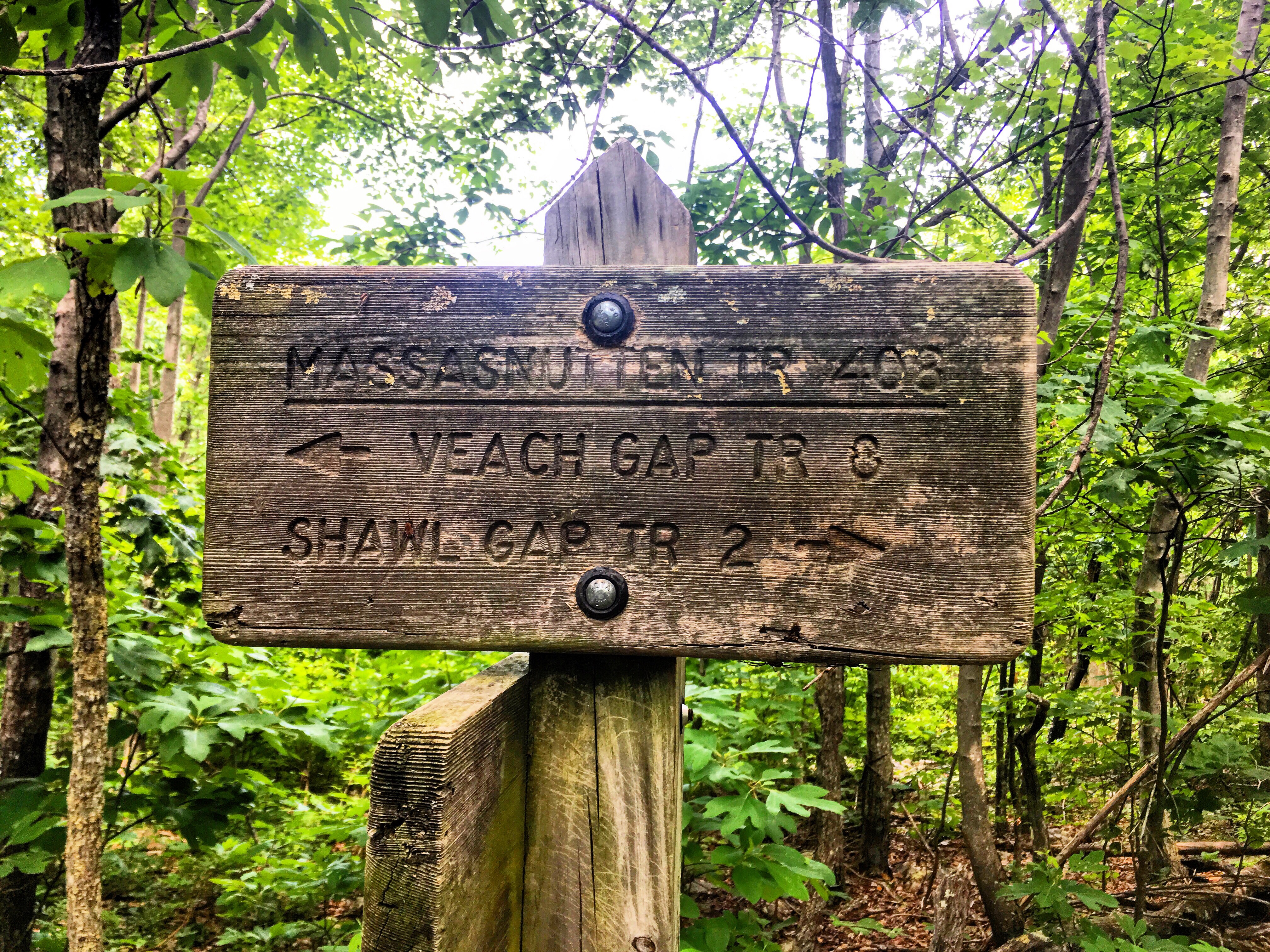
For day 2, we chose do a point to point on another section of the Massanutten Trail, parking a car at the bottom of Veach Gap, climbing to the ridgetop and riding it for a while, then descending Shawl Gap to the other car. The shuttle eliminated grinding out a lot of road miles on a twisty, highly-trafficked back road with zero shoulder.
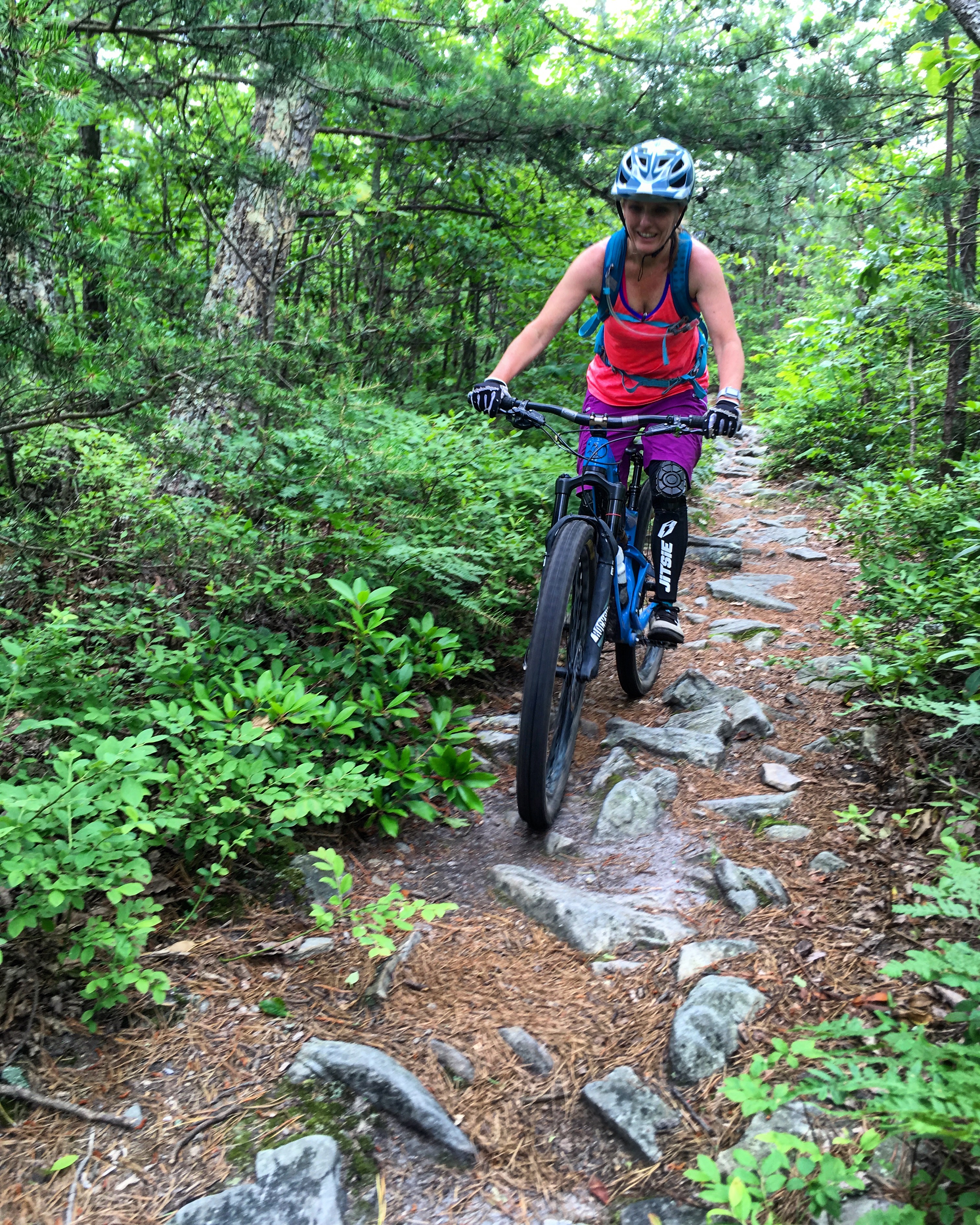
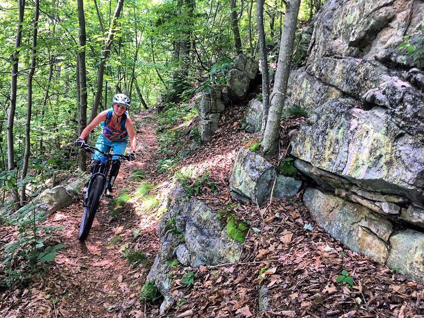
The Veach to Shawl section had a little bit of everything. The climb in the beginning wasn’t nearly as difficult as the one up to Signal Knob the day before — it was mostly rideable, at least. But by mid-morning, it was already so humid that the sweat poured off me in buckets.

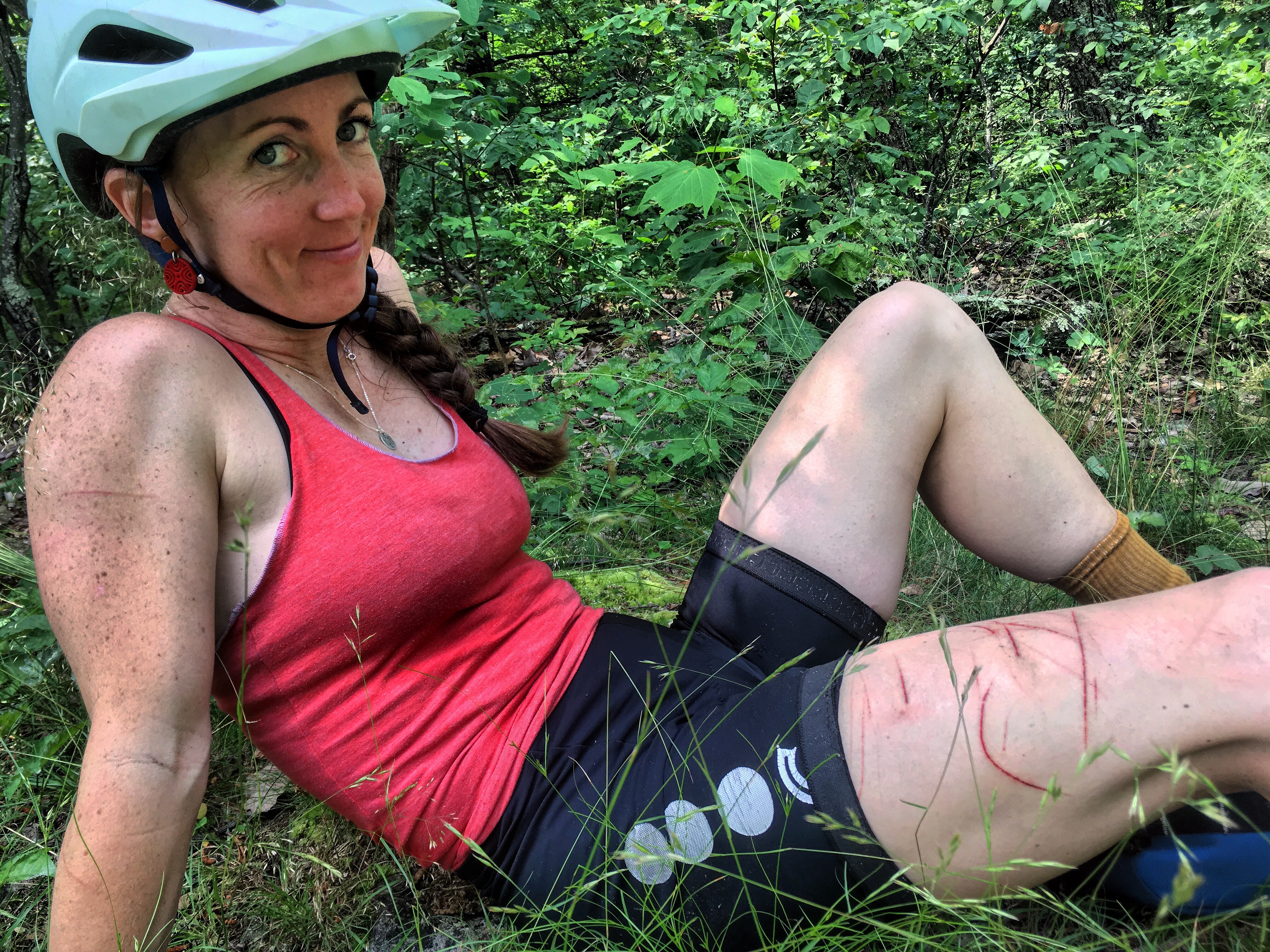
The top of the ridge was characterized by large slabs of rock and evergreen trees growing close to the trail. Their sharp needles left mini scratches on my arms and legs. Charred tree remains alluded to a semi-recent forest fire. Open areas aplenty looked out onto the mountains beyond.


But soon, the view changed. Evergreens turned back into deciduous woods. Needles scratching our exposed skin turned to briars and poison ivy. The trail followed the undulating ridgetop over a number of short but steep climbs and descents. Parts of the trail were so grown in that it was tough to see the rocks, adding an extra element of difficulty. Then the rocks subsided for a while and we were able to move a little faster.
So it’s not all super crazy rocks… Suddenly the entire Massanutten Trail seemed a little more doable. By no means anything but brutal, but maybe doable.

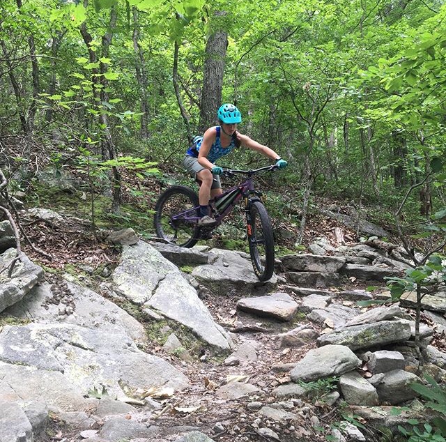
Shawl Gap was another fun descent, marked by several sets of stone stairs that looked intimidating but really weren’t that hard to ride down. Once again, it was rockiest towards the top of the ridge and mellowed out as we neared the stream at the bottom, popping out at the popular Elizabeth Furnace lot. We didn’t see any other mountain bikers, but there were plenty of hikers out and about, most of them with backpacks that suggested they were returning from overnights.

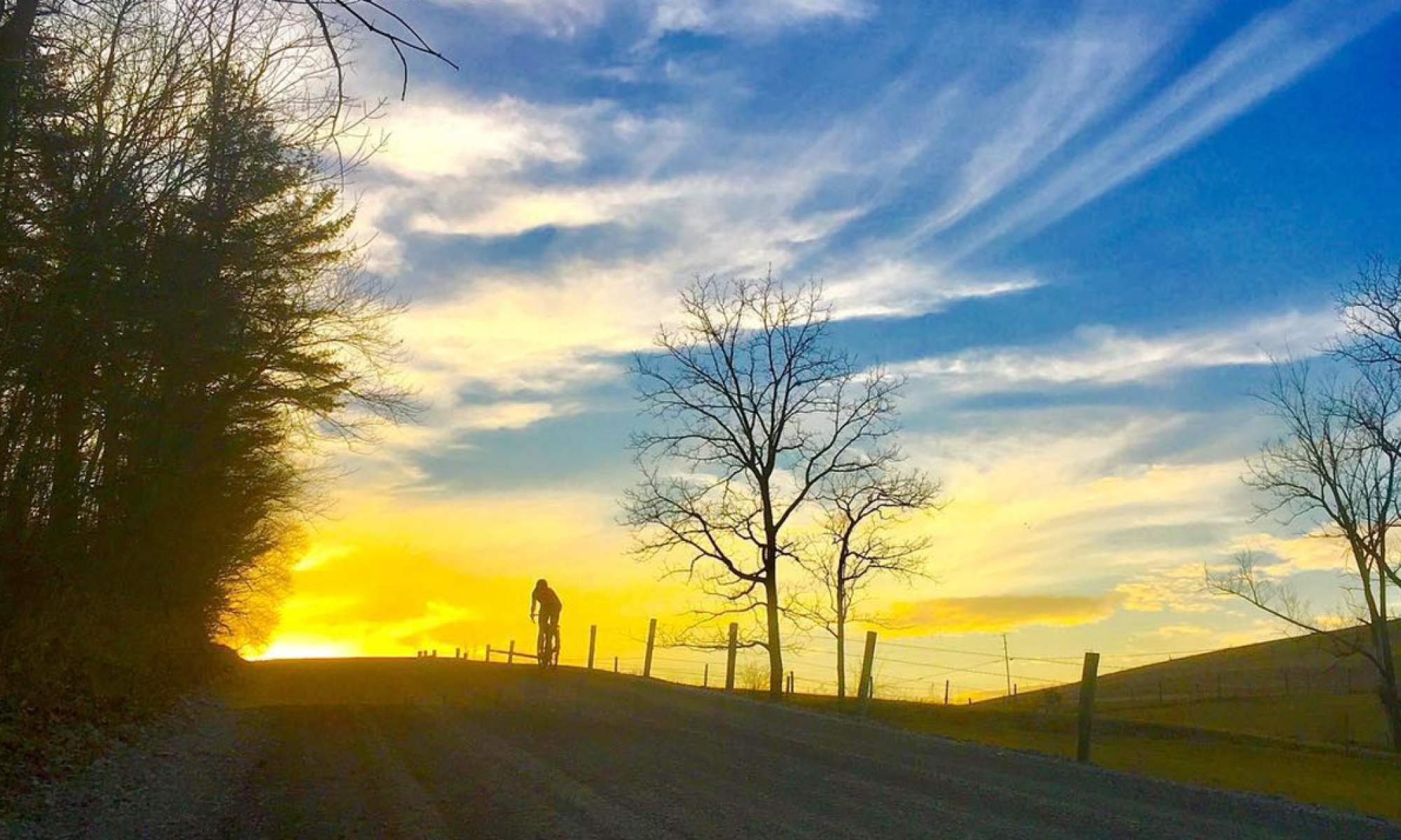
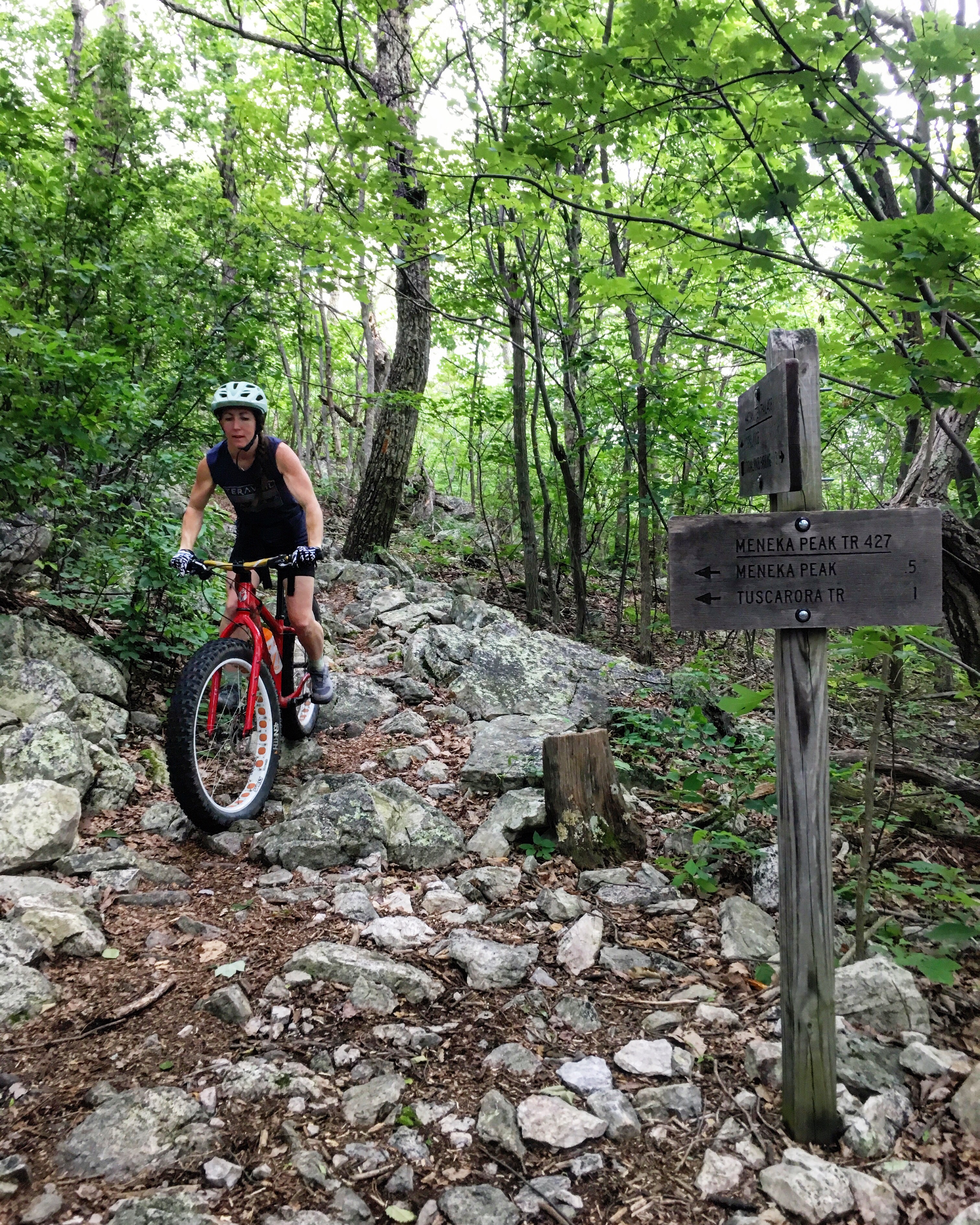
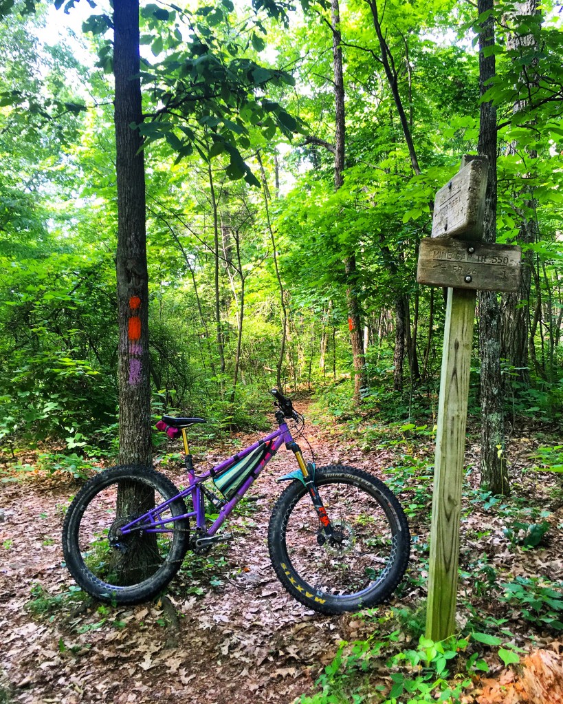
Tammy and I bid adieu to Carissa over Mexican food at Jalisco in Strasburg, then did a quick hike near Woodstock Tower to scope out some potential riding options for our final day in Virginia. We decided on a loop utilizing a gravel road to get to the ridgetop near the tower, then we’d head north on the Massanutten Trail and descend Mine Gap Trail back to the car.
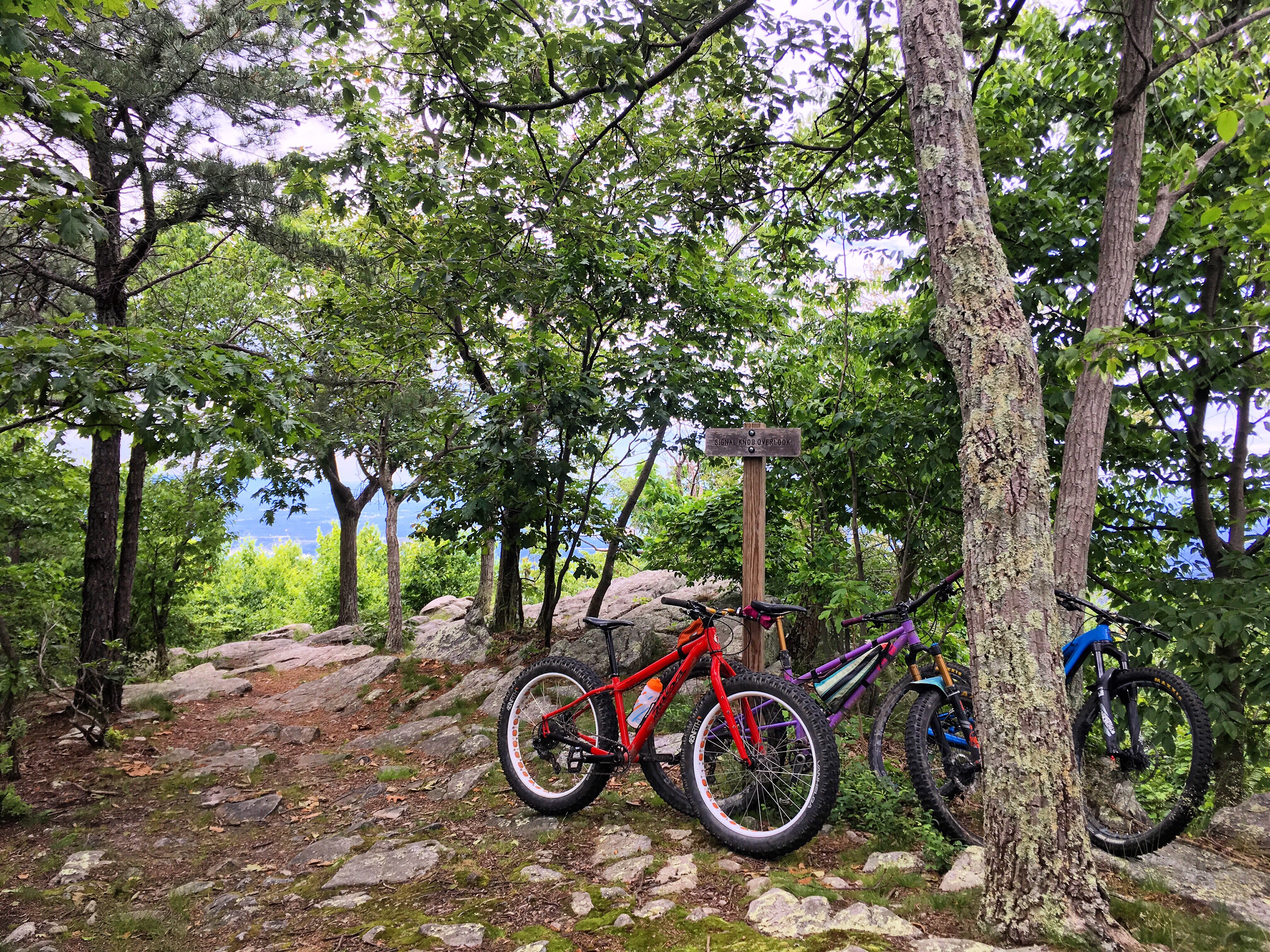
We got out early the next morning to take advantage of the cool air, but it was still toasty by mid-ride. The ridgetop was scattered with intermittent rock gardens, but was overall one of the smoother parts of the Massanutten we’d ridden this weekend. It did get rockier the farther north we went, back towards Signal Knob.
We got to Mine Gap quickly and decided to continue along the ridge. There was another trail a mile or so farther that would dump us out onto the same road we’d parked on, and we could either grind some gravel back to the car or backtrack on the singletrack to Mine Gap. When we got to the next intersection, I wasn’t quite done with rocks but Tammy was, so we split up and I took the trail back and she popped down to the road.
The descent down Mine Gap was fast and spiderweb-ridden, and I arrived back at the car with silky strings covering my helmet and handlebars. We loaded bikes and were off, headed northward towards home.

As the highway exits flashed by, my mind was still on the rocky Virginia ridgetops, the hike-a-bikes and sweeping mountain views. It was on the sections of the map yet un-ridden, and it wondered what secrets those miles hold. The allure of riding the entire Massanutten Trail was alive and well, and it remains months after my first foray into the Ring.